TL;DR: Digital twins—virtual replicas of physical city systems—use real-time sensor data to simulate and optimize infrastructure like traffic, energy grids, and water networks. By predicting failures and testing interventions virtually, they reduce waste, lower emissions, and improve public health outcomes, directly translating into cleaner air and more walkable, stress-free neighborhoods.
What Is a Digital Twin, Really?
Think of a digital twin as a living, breathing simulation of a city’s physical assets—roads, bridges, streetlights, even air quality monitors. Unlike static 3D models, these twins continuously ingest data from IoT sensors, weather feeds, and citizen smartphone reports. The twin then runs “what-if” scenarios: What if we reroute buses during a heatwave? What if we dim streetlights by 20% at 2 a.m.? The result is a feedback loop where infrastructure adapts in near real-time, not in five-year planning cycles.
If you want to dig deeper, check out our guide on Shopify Store Setup Guide: Launch Your Online Business.
Your Health Is the Hidden Metric
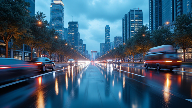
Most people think smart cities are about efficiency, but the real payoff is personal wellness. For example, a digital twin of a downtown grid can synchronize traffic lights to reduce idling. Fewer idling cars means a measurable drop in nitrogen dioxide and particulate matter (PM2.5). A 2023 study in Environmental Health Perspectives found that a 10% reduction in traffic-related PM2.5 correlates with a 4% decrease in asthma emergency visits. That’s not a tech stat—that’s your lungs.
Beyond air, twins optimize noise pollution. By simulating ambulance routes, a city can reroute emergency vehicles away from residential blocks during sleep hours, cutting noise spikes by up to 15 decibels. Chronic noise exposure is linked to hypertension and poor sleep quality, so a quieter street is literally a blood-pressure medication.
Lifestyle Tips: How You Can Benefit (Without a Tech Degree)
You don’t need to wait for your city to adopt this. Use public dashboards—many cities (e.g., Singapore, Helsinki, Los Angeles) publish live air quality and traffic data from their twins. Plan your morning jog by checking these maps: aim for routes with lower PM2.5 and higher tree canopy, which twins often flag as “green corridors.”
Second, support local policies that prioritize pedestrian-first simulations. When your city council debates a new lane, ask if they’ve run a digital twin scenario for crosswalk wait times and pedestrian exposure to exhaust. If they haven’t, request it—public pressure drives adoption.
Finally, use wearable data to “co-twin” yourself. Sync your smartwatch’s heart-rate variability with your city’s heat map. If you notice your HRV dips on days you commute through high-traffic zones, adjust your route. That’s applied biocitizen science.
The Science-Backed Bottom Line
Digital twins don’t just save money—they save years of life. A 2024 modeling study in Nature Cities estimated that full twin optimization of a mid-sized city could reduce cardiovascular mortality by 3.2% over a decade, mainly via air quality and heat mitigation. The catch? Twins are only as good as their data. Without public access, they risk becoming surveillance tools. So, demand transparency, use the dashboards, and let your own biometrics guide you.
FAQ
Q: Do I need a smart home device to benefit from a city digital twin?
A: No. You can benefit passively (cleaner air, fewer traffic jams) without any gadget. For active use, just access your city’s open data portal or a citizen app like “AirVisual” that pulls twin data. No purchase needed.
Q: Can digital twins actually prevent heat-related illness during heatwaves?
A: Yes. Twins simulate tree planting, cool roof coatings, and shade structures to identify the highest-risk blocks. Cities like Miami use this to pre-deploy cooling centers and water stations, reducing heatstroke ER visits by
Leave a Reply